Mapping Live U.S. Wildfire Smoke in R with sf and ggplot2
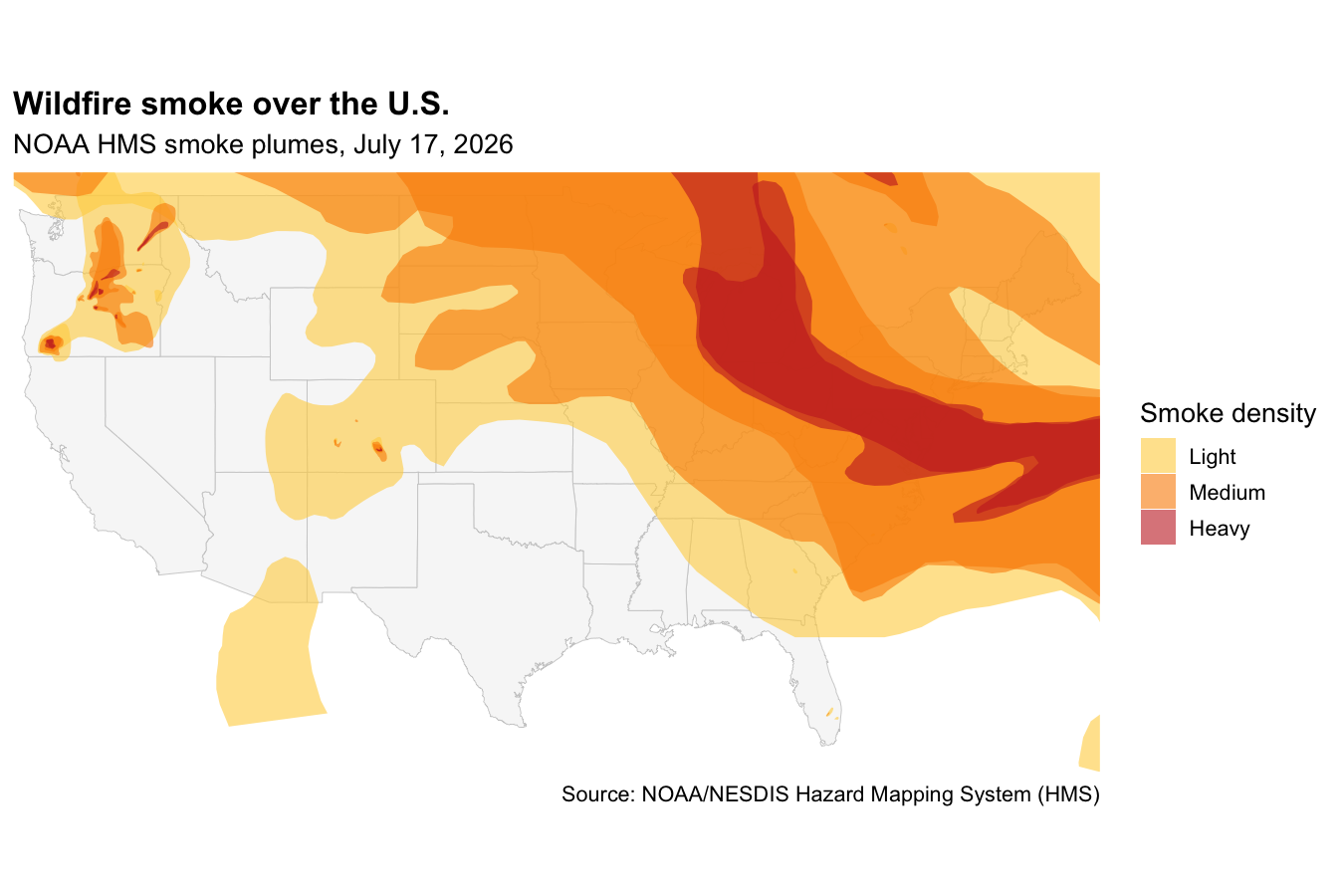
NOAA analysts trace wildfire smoke plumes from satellite imagery every day and publish them as open GIS shapefiles. The files live at a predictable,…

Copyright © 2026 | MH Corporate basic by MH Themes